Capture real environments
We use 360° capture, terrestrial laser scanning and image-led Gaussian capture to record spaces around the needs of each project.
 REALITY:RATIOViewAvenue login ↗
REAL SPACES · DIGITAL ENVIRONMENTS
Reality Ratio captures real environments and transforms them into precise, immersive digital spaces for exploration, measurement, collaboration and creative development.
WHAT REALITY RATIO DOES
We bring capture services, spatial information and our ViewAvenue software together - making real places easier to understand, share and develop around.
We use 360° capture, terrestrial laser scanning and image-led Gaussian capture to record spaces around the needs of each project.
Captured information can support immersive walkthroughs, registered point clouds, measured drawings, BIM context and visual project records.
ViewAvenue turns captured environments into shared workspaces where teams can explore, measure, tag information, test assets and develop ideas.
WHERE WE WORK
Every workflow begins with the real environment, but the capture approach and outputs are shaped around what each team needs to understand, communicate or deliver.
Accurate existing-condition information gives engineering teams a dependable spatial reference for design, coordination and verification - without every conversation beginning with another site visit.
Capture facilities, production areas and equipment in context to support layout planning, installation reviews, access studies and communication between site and off-site teams.
Create a clear visual and spatial record that helps fire-safety professionals understand routes, compartmentation context, access constraints and the relationship between building information and place.
Give owners, operators and facilities teams a reusable digital reference for remote orientation, maintenance discussions, alterations and information tied to specific locations.
Allow venues, agencies and production teams to revisit a space, understand constraints, test proposed assets and develop early concepts around the reality of the venue.
EXAMPLES / SPATIAL WORKFLOWS
The method and outputs follow the decisions that need to be made - from technical survey and asset understanding to shared review and creative development.
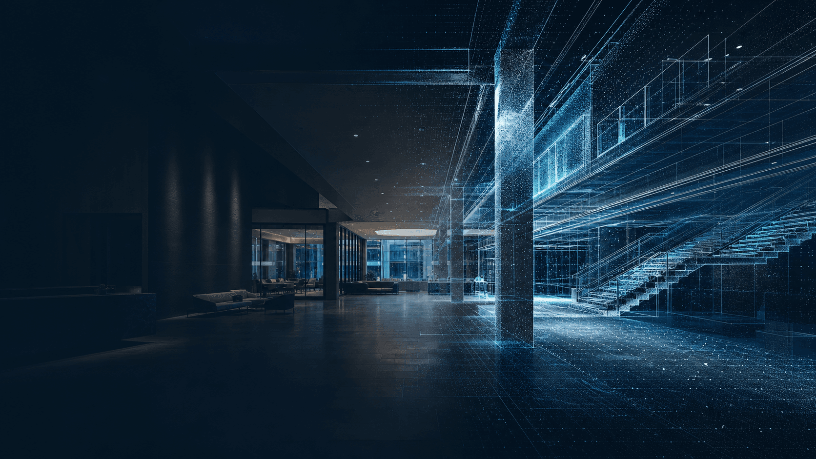
Registered point clouds and measured outputs provide a reliable existing-conditions reference for engineering, coordination and design.
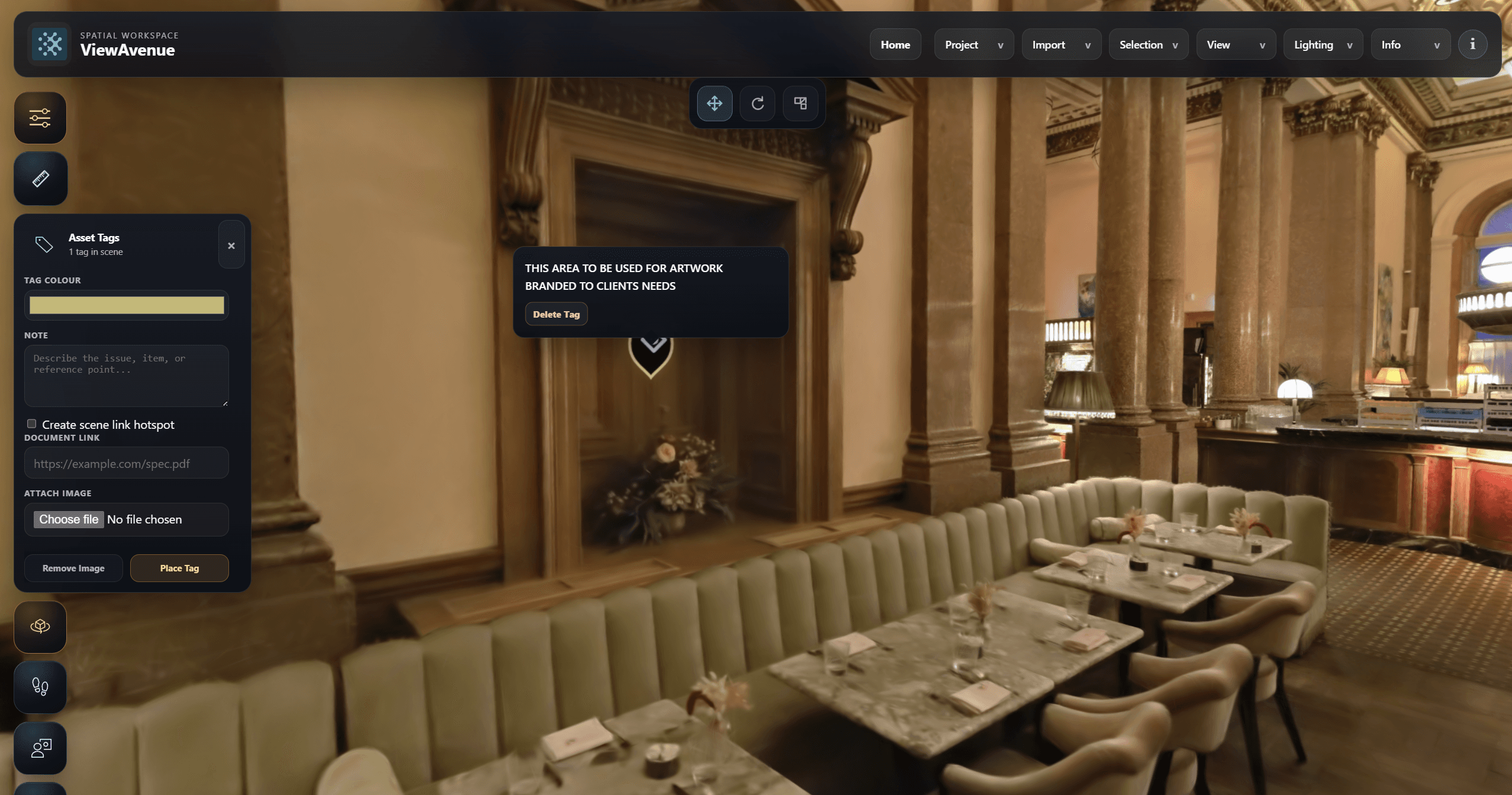
Visual and measured environments help teams review equipment, routes, constraints and site information in context before attending site.
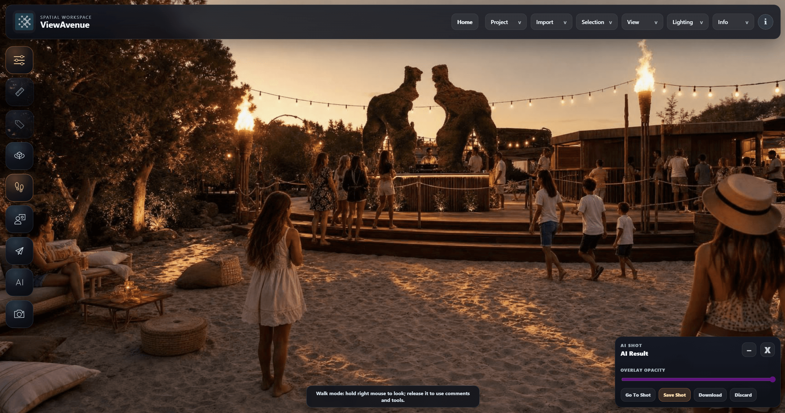
Teams can revisit the venue, position 3D assets and develop early concepts while retaining the real environment as their shared reference.
Our expanded website is currently being developed with deeper information about our capture workflows, ViewAvenue and the ways different project teams can use spatial environments. In the meantime, we would be happy to discuss what you are working on.
START A CONVERSATION
Tell us about the environment, the people who need to use it and the decisions the capture needs to support.
info@realityratio.xyz ↗